Survey Division was in-charge of completing Survey of defence land admeasuring about 17.99 lakh acres out of which approximately 1.61 lakh acres situated within the 61 notified Cantonments. About 16.38 lakh acres is spread across many pockets outside the Cantonments. Out of 16.38 lakh acres land, approx 18,460 acres is either state hired land or is proposed for deletion from records on account of transfer to other Govt. Depts. A total of 17.78 lakh acres was identified for Survey. The Directorate General Defence Estates, commenced the Survey of defence land from 2011.
The Phase-II survey has since been completed. The magnitude of land holding, location of land in approximately 4,900 pockets across the country. inaccessible terrain in many places and association of various stakeholders makes this survey a mammoth task.
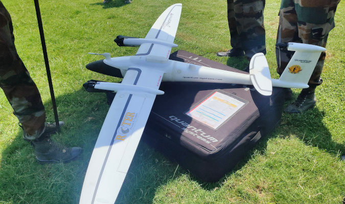
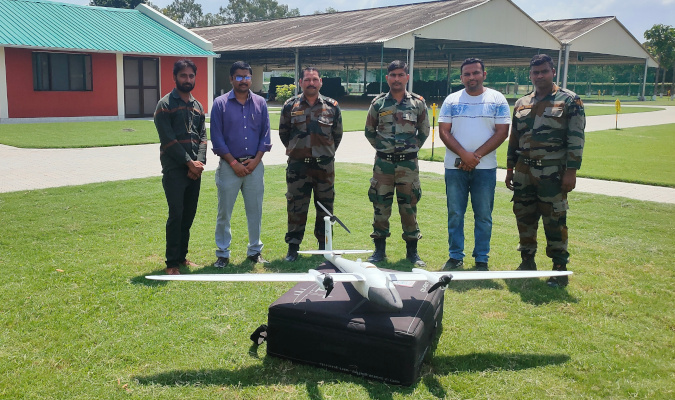
Electronic Total Station (ETS) and Differential Global Positioning System (DGPS) were used in the survey. To further speed up the process, Drone imagery and Satellite imagery based survey were leveraged for reliable, robust and time bound outcomes.
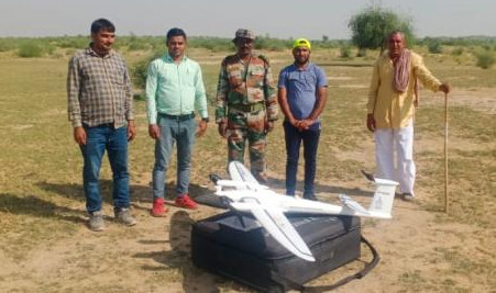
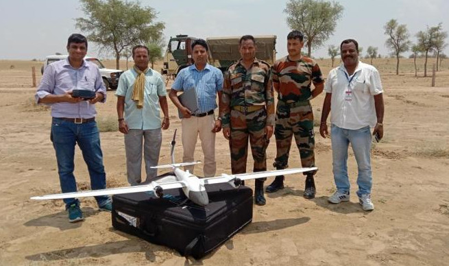
For the first time, Drone imagery based survey technology was used for survey of lakhs of acres of defence land in Rajasthan. The entire area was surveyed with the help of Surveyor General of India in a matter of weeks. which earlier used to take years. Besides this, Satellite Imagery based survey was done for the first time for many defence land pockets, especially for certain pockets again measuring lakhs acres of defence land.
The outcome of survey reports is further taken up for reconciliation of land records with various stakeholders. The DEOs and Cantonment Boards have also initiated the exercise to update records based on survey output. The GIS maps, digitized shape files and updated land data will enable MoD to access land data on real-time basis thus reducing delays considerably in taking decision on land optimization, land transfer for infrastructure projects and new land acquisitions. It will also enable Army, Air Force, Navy and DGDE to prevent encroachments.
Further, the defence land which is lying vacant and prone to encroachment has been identified for protection based on assessment as per the Threat Matrix. All the land data pertaining to the entire defence land has been digitized and Geo-Referenced Shape files of all defence land pockets have been generated. The same have been collated and integrated on a unified portal. Separate layers have been uploaded on the portal clearly distinguishing outcomes of Survey Phase-1 & Phase-II, GLR classification, Management of defence land, Leases, etc. These layers have been superimposed on the Satellite imagery. All the relevant details, such as pocket name, RB ID, area, relevant description, service, and management have been integrated in the portal. This portal is known as the DEMAP. The DEMAP Portal serves as a repository of critical information concerning defence land, enabling prompt and well-informed decision-making processes.


