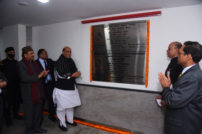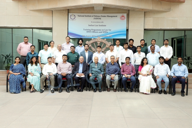



A Centre of Excellence (CoE) in Land Survey under aegis of DGDE has been established in NIDEM
Following are its Achievements:
1) CoE has developed a customized ‘Land Use Analysis” tool employing GIS and Remote Sensing technologies and for land use analysis of defence land which utilizes open source Satellite imagery and open source GIS platforms for classification of land into various categories viz. vacant land, built-up area, vegetation, roads and water bodies. This is being used in optimal utilization and management of defence land in a pocket by ascertaining current use of land without any human intervention, thus saving time and effort. It ensures effective scrutiny of various ongoing proposals for land acquisition as per the requirements of services, thus enabling cost effective, transparent and accountable decision-making process. The tool eventually aims at reducing the capital cost of land acquisition, optimum utilization of available land and better land use planning and is being used in a number of such cases involving land acquisition, land transfer or land re-classification.
2) In another initiative to check encroachment on precious defence land as well as to effectively monitor the vacant defence land, Satellite imagery-based Change Detection Module has been developed. This module utilizes time-series satellite imageries from various sources and detects changes on defence land. The action taken by the Chief Executive Officers (CEOs) and Defence Estates Officers (DEOs) with regard to these encroachments is then monitored by the HQrs. Thus, it reduces human interventions and checks leakages in the system and independently verifies the inputs of the local officials.
3) The 3D imagery analysis & visualization Software has been developed by Centre of Excellence – Satellite and Unmanned Remote Vehicle Initiative (CoE- SURVEI) in collaboration with knowledge partner NASCENT Info Technologies, Ahmedabad for 3D imagery analysis & visualization of hilly terrains. This tool helps in effective and optimal land management of hilly and inhospitable terrains by enabling swift decision making based on quality, comprehensive and holistic data and visualization.